Northern Sierra Nevada Crest
42,128 acres conserved since the launch of the Partnership (2007)
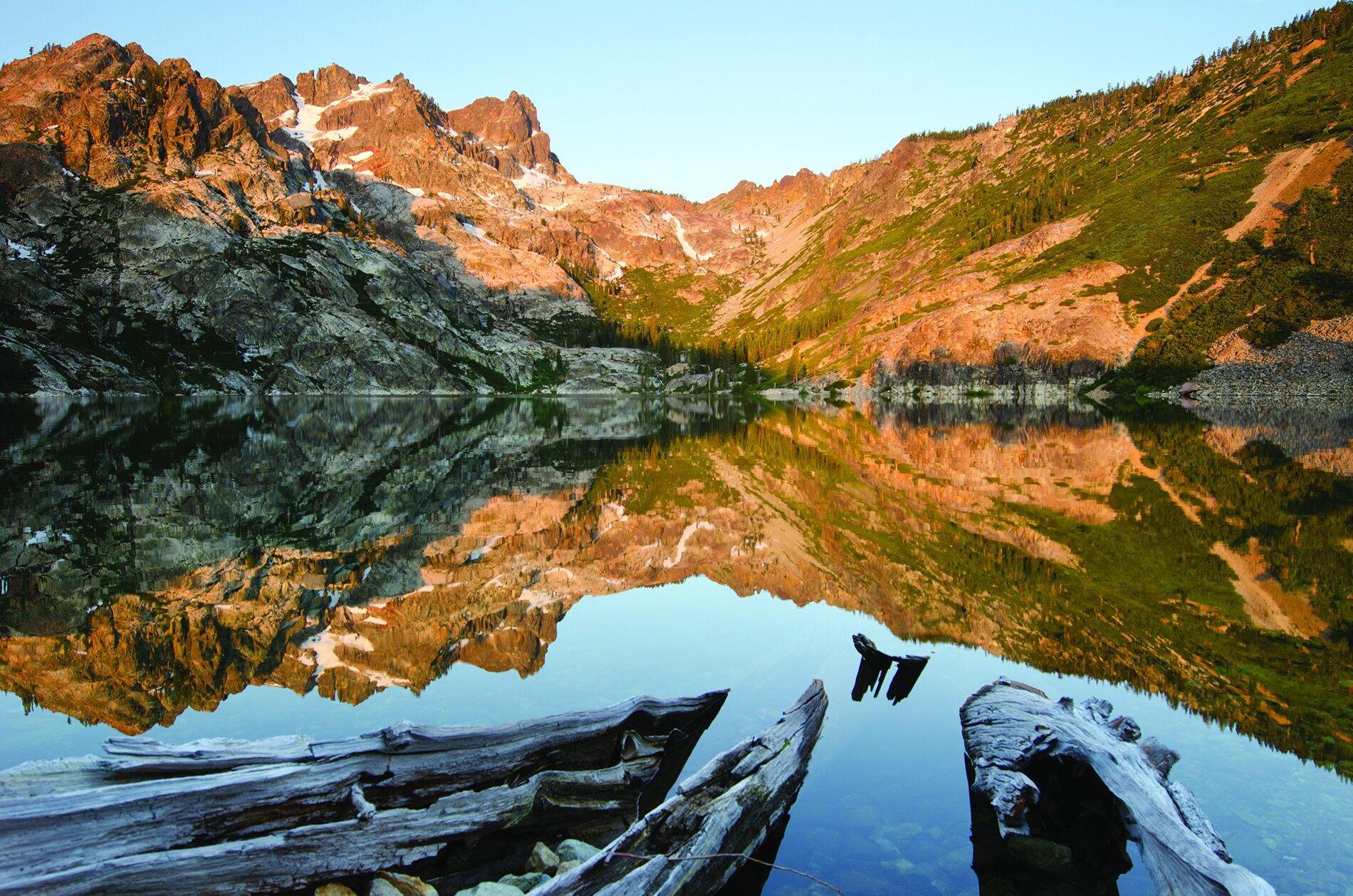
When many people think of the Sierra Nevada, they think of the craggy peaks, glaciated lakes and wildflower-carpeted meadows of the Sierra high country. Virtually all of this high country—from Tehachapi Pass to Desolation Wilderness—is protected in an unbroken sweep of national parks, wilderness areas and national forests. But from the headwaters of the Rubicon River (just west of Lake Tahoe) north to the Sierra Buttes, the physical integrity of the Sierra Crest is compromised by a checkerboard pattern of public-private ownership that heightens the risk of land fragmentation and interferes with good stewardship of both public and private land.
To address this problem, which dates back to the construction of the Transcontinental railroad in the 1860s, the Partnership is working with willing sellers to conserve and restore natural corridors along and below the northern Sierra Crest to maintain upstream water quality, improve forest health, increase carbon storage, enhance wildlife movement, provide a refuge for species as climate changes and expand recreational enjoyment of this extraordinary landscape.
Projects along the Northern Sierra Nevada Crest:


Photo credit: Sierra Buttes © Rich Reid | Sierra Buttes Lake Region © Rich Reid | Royal Gorge © David Galson | American River Headwaters © David Edelson, The Nature Conservancy